Monday, November 27, 2006

All Shook Up

October's 6.7 magnitude earthquake has left its imprint on people's minds. That was illustrated yesterday when rumors spread that a large earthquake that would trigger a tsunami was about to hit the Big Island. The Civil Defense was flooded with calls and Hawaii news channels assured people the rumors were false. (can earthquakes be predicted at all?)

Some folks had a hard time calming down after our 5.0 that hit Thanksgiving Day. Maybe I'd be on edge, too, if I had been here for the larger quake in October. But I was in flight when that quake struck. Being from Indiana, I am not used to feeling the earth shake, so this is all kind of new and exciting for me. I was at church during Thursday's 5.0. Folks looked at each other and kept smiling and singing and no one seemed to care much about the quake. My only fears were for my dad's porcelain Christmas village (which was not damaged) and for our turkey in the oven (what if a power outage delayed our eating?)

One thing I do find spooky about earthquakes is that there's no warning. I grew up in tornado country where the weather was a good indication of whether a tornado was likely. Earthquakes strike with no warning signs.

Here's a photo of the seismograph at Hawaii Volcanoes National Park that recorded the 6.7 on October 15th. The first quake that hit at 7:07 is on the right, and the aftershock that happened 7 minutes later is to the left of it, in the center of the paper. Each column on the paper represents one minute.

Saturday, November 18, 2006

Road Test

We took the Liberty to Makalawena today and it did great! I didn't scrape on one rock, I am really pleased. It's amazing what 3 or 4 inches will do.

Getting there is half the fun:


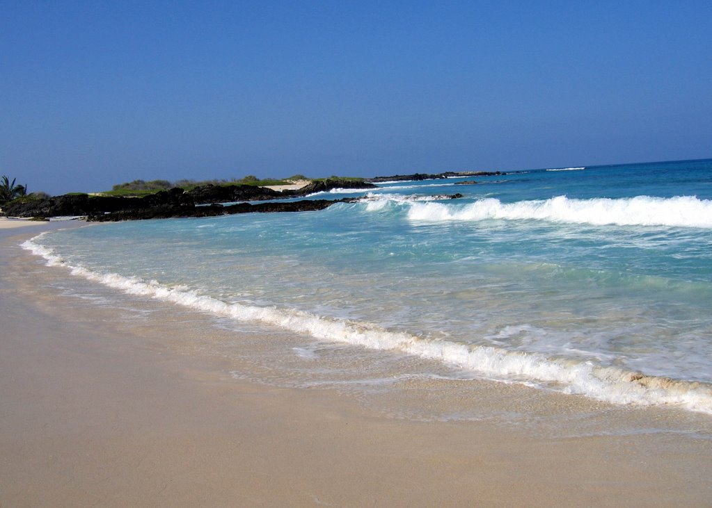
Was the lift worth it? This is Makalawena, one of the many places my newly lifted Jeep can go. You decide.

Monday, November 13, 2006


Houston, we have lift off

Stuart installed the lift today, to my surprise he was done when I came home for lunch. I gained 3 inches from the rock rails on the sides of the Jeep, and a bit more than 2.5 under the front skid plate- and that's where I needed it most! You can see that the skid plate gets its use! Now I have almost as much ground clearance as Chrysler's specs advertise. I hope to fill up my wheel wells up with tire now, after I get 30" or 31" tires I'll have more clearance everywhere, even the axels.

Here are the before and after photos Baron requested:

Sunday, November 12, 2006


Precious cargo

I had some friends to pick up at the airport today. My heart was filled with joy when I saw the Hawaiian Airlines jet touch down on the Kona runway. I'll be honest and say I was more excited about the contents of friend's suitcase than anything. He arrived with one 2.5" Jeep Liberty lift kit. He's gonna install it tomorrow!

Moon light Magma

It's not everyday you get to watch the full moon rise over the ocean with a lava flow in the foreground. You can see a lot more lava than this photo suggests. A tripod would have served me well.

It's a pretty good flow going into the ocean right now and you only have to walk about 200 yards from the end of Chain of Craters Road to get a view. Bring binocluars or plan to hike a couple miles to get a better view. There is also a lot of lava coming down the pali, more than I have ever seen.

For daily eruption updates call (808) 985-6000
Underwater spelunking

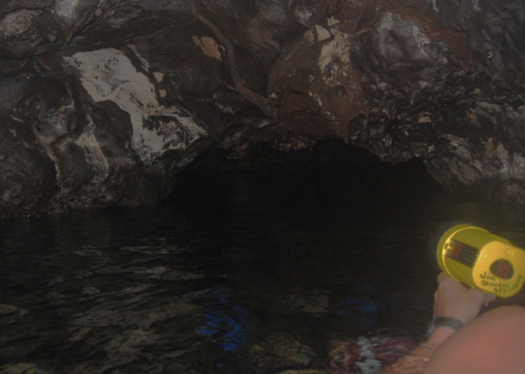
Jim and I explored the Queen's bath by Kiholo Bay a couple weekends ago. It's a lava tube that's filled with fresh water by an underground spring. It goes back about 100 feet and it's really fun to snorkel through. It's pitch black in there- luckily we had Jim's dive lights. I have heard stories of people drowning in the cave when the tide comes up. However, I am not totally convinced that the tide has any effect on the water level, though I bet rainfall does. There were spots where the water was less than a foot from the roof of the cave, it'd make me nervous to be in there it was any higher.

Swimming into the cave:


A "skylight" offers some light in part of the cave, most of it is pitch black.

O Happy Day


OK, so I'm a little behind on my blog. This post would have been best if I had actually posted it on Thursday when we learned the Democrats got control of both the House and the Senate.

Sunday, October 29, 2006

Hidden Canyon

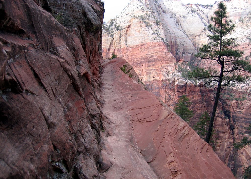
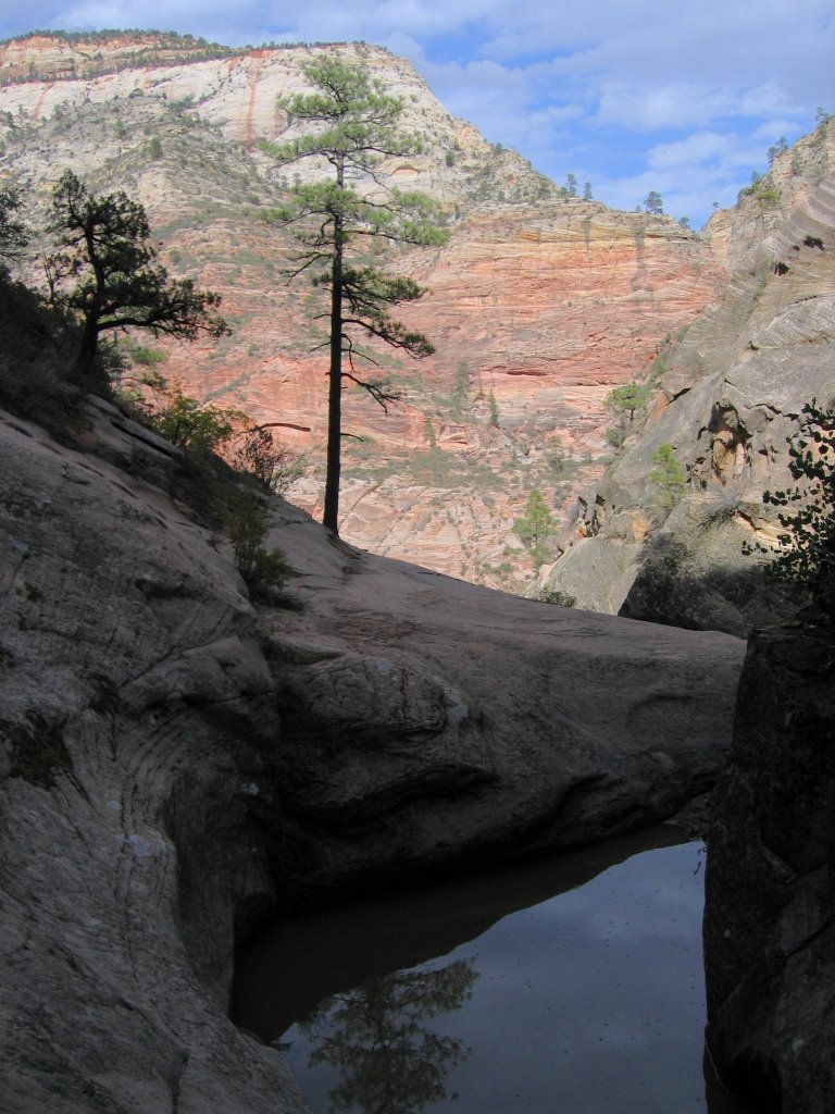
Another awesome hike was the one to Hidden Canyon. It was another steep climb, but the views on the way up were fabulous, and the sometimes narrow trail added to the excitement. At the top of the hike was the narrow Hidden Canyon, which was pretty fun to explore.

I reccommend Zion National Park. It's so beautiful and there are are so many fun and fantastic day hikes I could hardely choose which ones to go on. I estimate that I hiked close to 20 miles on my first full day, it was so fun I couldn't stop until I was literally ready to drop.

The exciting trail:


Pool on the top of a cliff:
Angel's Landing

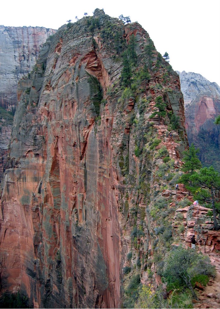
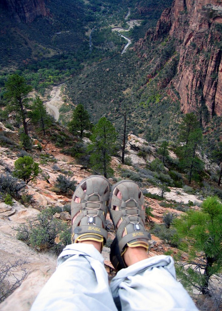
This may be the most fun hike I have ever gone on. The trail ascended 1,500 feet from the floor of Zion Canyon. It was a steep climb and in some spots the trail was pretty narrow with cliffs to the right and to the left. One slip and you're a gonner! The view at the top was incredible. I can see why an angel would want to land here!

The trail followed the ridge to the top of this:


Don't tell my mom I dangled my feet:


The rewarding view:
Road Trip!

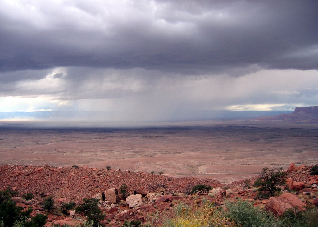
After our visit I headed north to Utah because I had heard good things about Zion National Park. Snow was falling on the San Francisco Peaks north of Flagstaff! I also drove across Navajo reservations, through the Painted Desert, past the Vermilion Cliffs (beautiful!) across the Colorado River at Glen Canyon Dam, it was a feast for the eyes. I forgot how fun it is to drive all day looking at new, amazing things. And the coolest part of the drive was watching a lightening storm follow me most of the day but never catch up.

Here it comes:

Phoenix

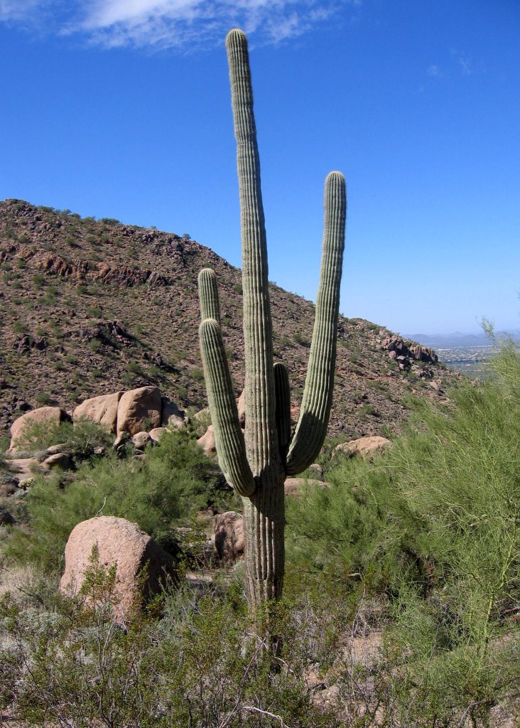
It was awesome to hang out with Jen and her family. Jen and I grew up next door to each other in Indiana, I had never met her kids until this trip. We took Noah to a pumpkin patch, made clay sculptures and wrestled with the dogs. It's always neat to catch up with a life long friend, reminisce and find out what the gang from the old neighborhood is doing these days. And Erik and Jen took me on a really fun hike up Pinnacle Peak and to the Yard House!


Sedona

After the Grand Canyon hike I spent two nights camping in Sedona. I did some hiking in Oak Creek Canyon, including the West Fork River hike pictured above. After three miles the trail is the river and red canyon walls rise up out of the water on either side. I appreciated the fall foliage and the scent of autumn leaves and ponderosa pines.

My second night of camping became exciting when a storm rolled in. Huge lightening bolts tore across the sky so I retreated to the car for safety. The wind picked up pretty good, too, which didn't concern me until a huge tree fell down in the woods right behind my tent. The lightening came and went throughout the night so I kept going from the tent to the car and back. I finally got sick of that so I packed up at first light and headed south toward the sunshine to Phoenix.

Wednesday, October 25, 2006

All pau, can we go again?

Our Last Day

I woke up before dawn wondering what happened to the last four days? Time flys! I didn't feel like eating breakfast because I was anxious to get on the trail so I could pause often, enjoying as much of the canyon as possible. It was a 4.5 mile hike from our camp at Indian Gardens to the top of the South Rim, a 4,500 foot ascent. The rim looked so far away, it seemed impossible to get to. But before long, I was disappointed by how close it looked. Every step forward was one step less I had left in the Grand Canyon.

The hike out was actually pretty easy. Although the mule poop got annoying, and so did the tourists near the rim who all wanted to know, "Did you really sleep in the Grand Canyon?" I ate about a dozen more snack bars and took scores of photos. California Condors soaring beyond the ridge and big horn sheep were pleasant surprises. But before too long the hike was done. We all gazed at that gaping hole in the ground amazed that we had just hiked through it. If given the chance, I would have turned right back around and headed back down!

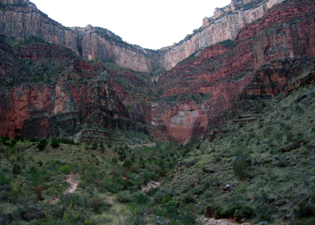
The Bright Angel Trail follows a fault line which is right in the middle of this photo. From below, the hike seemed impossible!


On the final day of the hike I took about three million photos just like this one:

Plateau Point

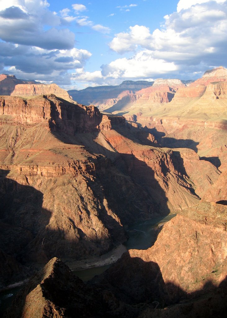
This may have been the highlight of the trip. We set up our last camp at Indian Gardens, then took a 1.5 mile hike each way to Plateau Point. Even after four days in the canyon the view left me speechless. Imagine a 360 degree overlook of the greatest wonder of the world. We could see the North Rim, the Colorado River winding through caverns to the east and to the west, the South Rim behind us and dramatic cliffs and valleys stretching endlessly across the landscape. We ate some spicy curry and watched the view change by the second as the sun set. Crickets joined the roar of the river. Cliff ridges grew dark and stars appeared. The moon crept up behind a cliff and slid behind clouds, then back into view. Words couldn't describe it. This was the unbelievable, incomprehendable view of the Grand Canyon I had always imagined. I stood in awe taking in the sights and sounds, utterly amazed again by the God who made it.

I wish I had lingered just a little longer because the people who hiked back after me spotted a tarantula on the trail!
Day Four. Goodbye, Colorado River

We packed up camp and crossed Colorado on the silver bridge. It's made with steel grates so you can look through the bridge and see water flowing below. They can't take mules on this bridge because they get freaked out.

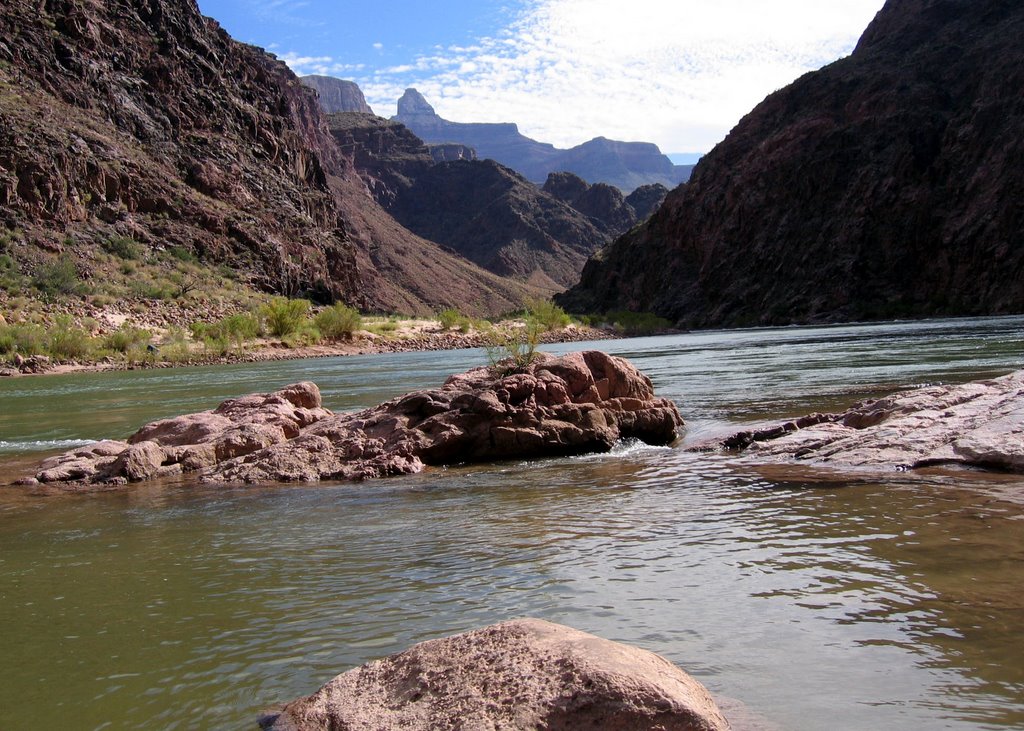
It was an easy hiking day so we went to a beautiful sand beach on the river to kill some time and eat snack bars. I could have sat there forever watching the water pass by. I jumped off rocks into the water repeatedly until I was sure I was driving folks crazy. We were all sad to leave the river. From then on we'd be hiking uphill where our adventure would end.

Our riverside oasis:


Our shady luch spot. I had a tortilla with peanut butter, we were getting down to slim pickin's. Then we checked out some ancient indian ruins.
The bottom of the hole...yet so close to heaven

Phantom Ranch and Bright Angel Campground lie in the corridor where the vast majority of Grand Canyon hikers go. Eighty campers are allowed on a given night. I prefer to backpack in much more secluded places, but the peaceful surroundings at Bright Angel surprised me. We were about 100 yards from the Colorado River and much closer to Bright Angel Creek.

I watched the sunrise from the river one morning. It was like watching the lights come on in a big city. Because of varying cliff heights and the angle of the sun, one cliff would light up to the south, then one to the north. There was no way to predict what the sunlight would touch next. All this while bats flew by me head, I could actually hear their wings.

We stayed two nights at Bright Angel and we did two side hikes on our layover day. The first was 1,500 feet up a rough, steep, barely visible trail to the Utah flats. The footing was loose and we were all cut up from thorns. It was fun! And the view from the top was tremendous. See the first photo I posted where I am standing next to the cliff. It sure was nice not to be hauling the heavy backpack around.

After the Utah Flats hike we had lunch on Boater's Beach where some rafters were hanging out. Mules crossed the black bridge above. We cooled off in the 58 degree river, then took a second hike to the narrow Phantom Canyon where we explored more waterfalls.

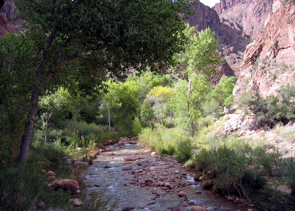
Bright Angel Creek flowed near our campsite:


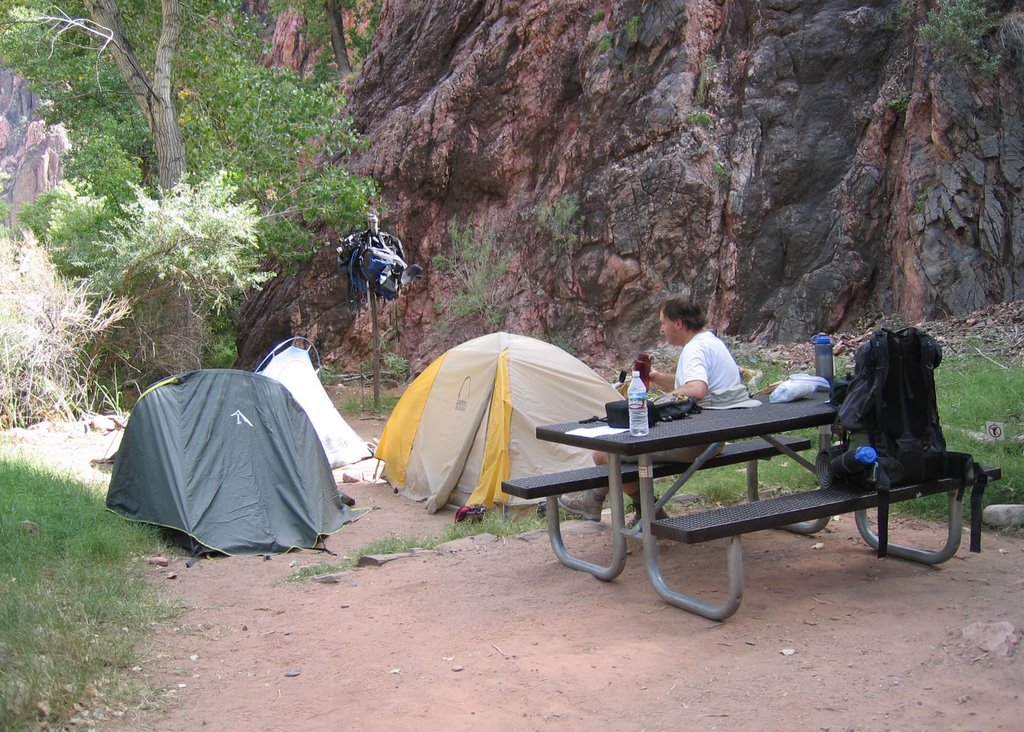
Our home for two nights:

Waterfalls before breakfast

Waking up and realizing you're in the bottom of the Grand Canyon is a pretty amazing feeling. We packed up camp and hiked to Ribbon Falls where we ate breakfast. It was a tall waterfall with three tiers and the bottom tier was carpeted in thick moss and it had a cave behind it. The water was too cold for the mainland hikers in our group, but I find icy water pouring over cliffs irresistible. So I explored the small cave which has a sky light above- do you see it?

We hiked 7 more miles that day but we only lost about 1,500 feet in elevation, so the hike felt practically flat. Part of the hike was through "the box," a narrow section of the canyon. Then we arrived at Phantom Ranch. I was irritated to have hiked 14 miles only to find a "civilized" building with flushing toilets and souvenirs for sale. But I forgot that irritation the moment we stepped out of the 101 degree heat and into the air conditioned canteen to enjoy ice cold beer.

Time to hit the trail

Here's Brian, Danielle, me, Hubert and Dave at the North Kaibab trailhead. We couldn't see the canyon through the forest and I was so anxious to catch my first glimpse. We hiked 7 miles the first day, and it was definitely the hardest day. I felt great while we were doing it, but I had some pretty sore muscles and toes the next day. The trail is steep, and we just keept hiking down and down and down... The whole time I was thinking, "We have to hike back up."

We ate Thai chicken pasta salad for lunch and chicken buittos for supper (not your average backpacking food on this trip!) Our first campsite was beside a creek and it was in a wide part of the canyon so we had a big view of the sky. I didn't put the rain fly on the tent so I could gaze at the stars, and I tried my hardest to stay awake. I didn't want to miss a minute of it!

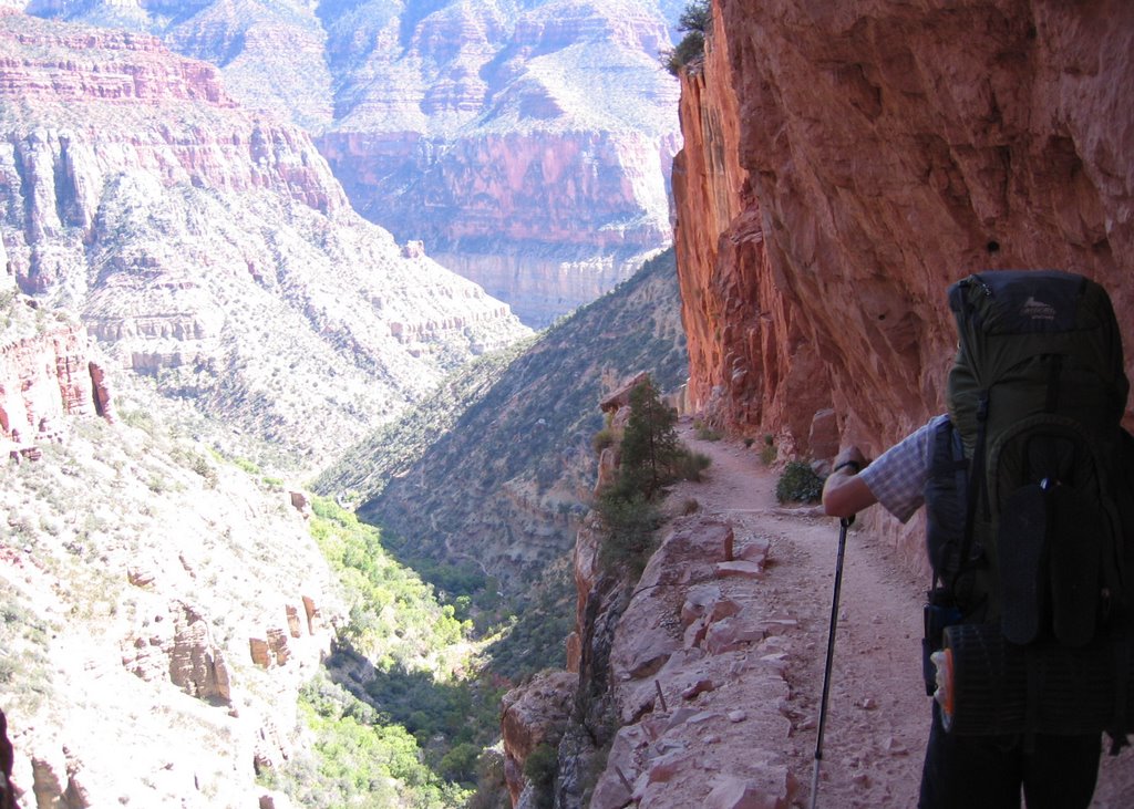
Hiking the North Kaibab trail:


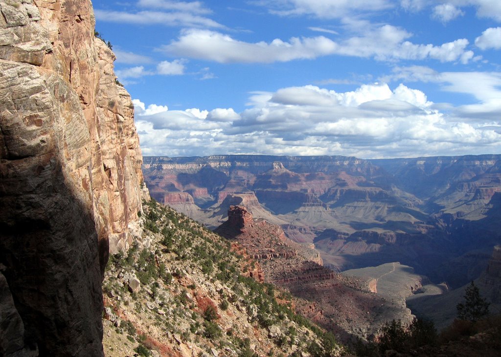
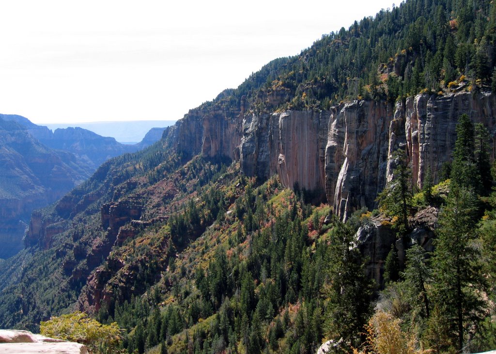
The view near the top of the North Rim:

Sunday, October 22, 2006


Grand Canyon view

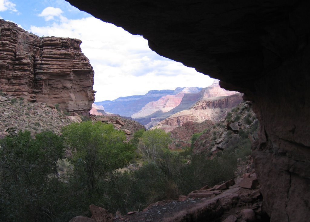
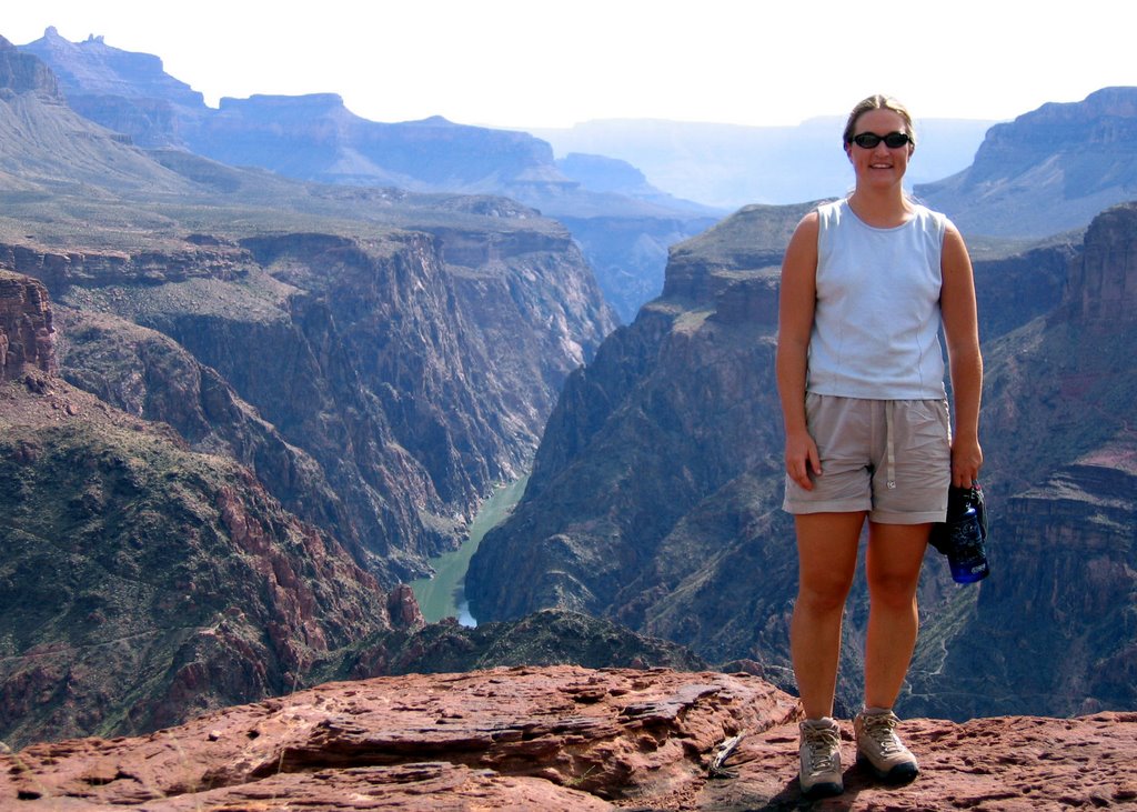
Here's the first of, trust me, many photos I will be posting from my 5-day Grand Canyon hike. It's so beautiful words can't describe. This lookout is about 1,500 feet from the canyon floor.